
In July 2026, Iran attempted to enforce its threat to close the Strait of Hormuz, a vital commercial waterway. However, the strait had already become unreliable due to extensive GPS and AIS interference. Since the conflict began, more than 1,100 vessels recorded GPS disruptions in a single day, with some ships appearing on tracking systems at airports or deep inside Iranian territory. As a result, crews have had to navigate this busy route by radar alone, as satellite navigation systems could no longer be trusted.
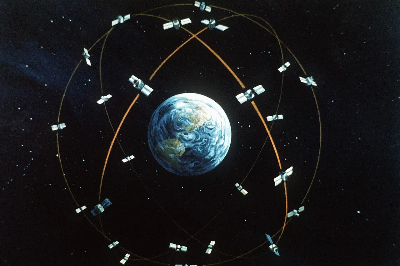
This disruption highlights a critical vulnerability in the Global Positioning System (GPS), which the modern world depends on for everything from credit card transactions and power grid synchronization to guiding ships and military operations. In 2024, global aviation experienced approximately 430,000 jamming and spoofing incidents, marking a 62% increase from the previous year.
The Chinese Communist Party is expanding next-generation navigation satellites, including low Earth orbit (LEO) constellations that emit stronger signals and are designed to withstand electronic warfare. In response, the fiscal year 2027 defense bill advancing in the U.S. House of Representatives would require the Air Force to demonstrate capabilities with commercial LEO providers. This includes testing operations without GPS, resistance to jamming and spoofing, and rapid restoration if satellites are lost.
An image from March 11, 2026, shows oil tankers and cargo ships lined up in the Strait of Hormuz as seen from Khor Fakkan, United Arab Emirates, illustrating the strategic importance of this waterway.
The events underscore how adversaries have found and exploited weaknesses in essential satellite technology, prompting urgent calls for enhanced resilience and security measures.
Sources
- Fox News Latest by Will Thibeau, August 3, 2026
Loading comments.